Ubinavi: Smarter Spatiotemporal Intelligence for Greener Governance
On April 13, the 27th Shanghai Environment Expo—the world’s second largest environmental protection exhibition—grandly opened at the Shanghai New International Expo Centre. Under the theme “Connecting Global Opportunities and Exploring New Drivers of Growth”, the expo focused on industry hotspots such as low-carbon transformation and digital-intelligent solutions, bringing together over a thousand leading environmental protection companies on a shared stage.
On-site Highlights
As a leading domestic provider of spatiotemporal digital intelligence solutions, Shanghai Ubiquitous Navigation Technology Co.,Ltd. (Ubinavi) closely aligned with the expo’s theme and made a major appearance with its full-scenario smart equipment matrix covering “space, sky, ground, and water” at Booth No. E2-A22 in Hall E2.
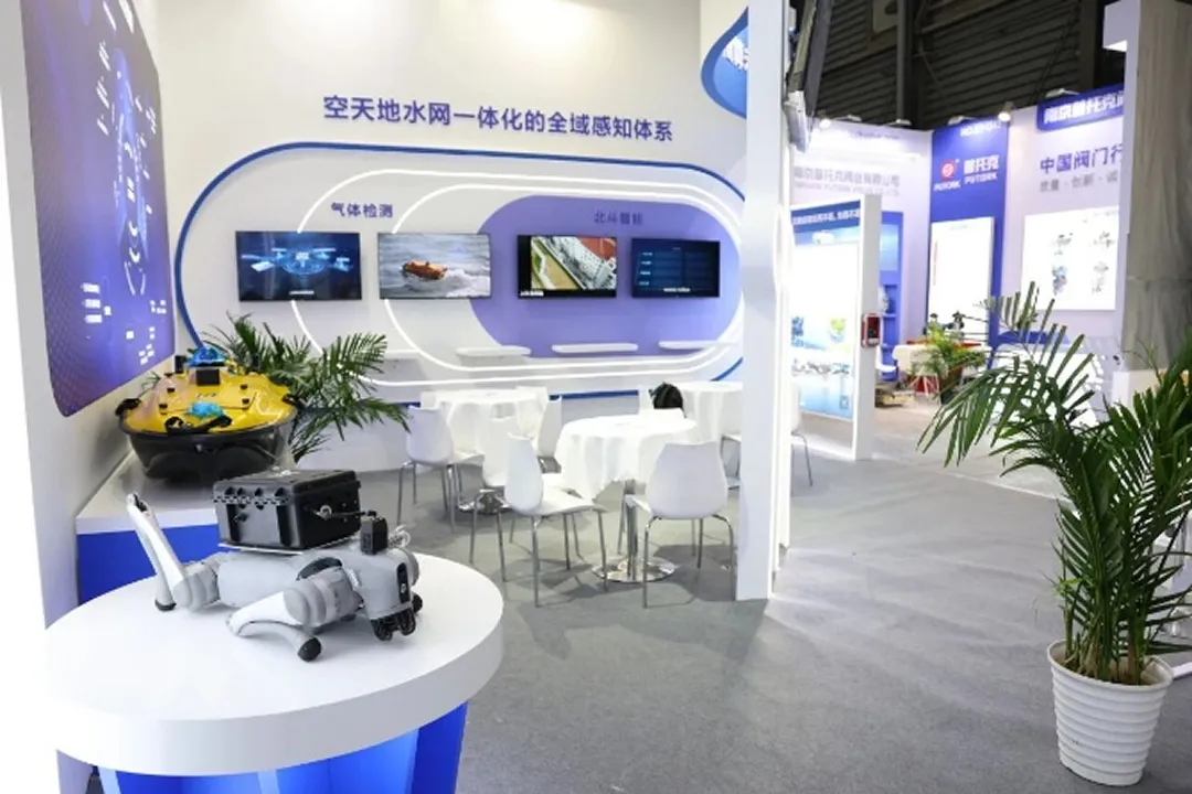

The exhibition showcased more than a dozen core products, including gas leak detectors and unmanned surface vehicle, forming a comprehensive monitoring framework that spans oceans, rivers, the atmosphere, and urban pipeline networks, extending into an integrated aerospace-ground intelligent supervision landscape. The related technologies and equipment are widely applied in monitoring water, atmospheric, soil, marine, and overall ecological environments, providing full support for the development of multidimensional, integrated monitoring capabilities across space, air, and ground domains.
Focusing on the entire lifecycle of environmental data—from collection and governance to application—the system enables closed-loop management spanning baseline assessments, intelligent early warning, and trend forecasting. This approach supports precise insights into ecological conditions, as well as scientific risk assessment, rapid pollution source tracing, and efficient, targeted prevention and control.
On the opening day, the Ubinavi booth attracted a steady stream of visitors from 9:00 a.m., with strong interest continuing throughout the day.
Product Showcase
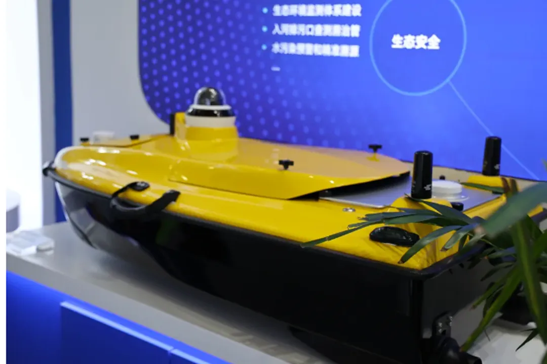
Unmanned Surface Vehicle (USV) Collaborative Application Enhancing Water Monitoring Efficiency | Advancing the intelligent transformation of data acquisition
The iUSV-6 promotes low-carbon and intelligent water monitoring through efficient data acquisition and precise analysis. In complex water environments, the iUSV-6 supports autonomous trajectory control and intelligent obstacle avoidance strategies, enabling self-adjusting navigation in shallow-water areas. When battery levels are low or communication is interrupted, the system can automatically return to its starting point, ensuring operational safety and data integrity.
The iUSV-6 measures only 0.98 meters in length and weighs less than 30 kilograms, allowing it to be transported and deployed by a single operator. It integrates a high-precision GNSS positioning module and a single-beam echo sounder, enabling depth measurements ranging from 0.15 meters to 200 meters. The measurement accuracy reaches ±1 cm + 0.1% of water depth, meeting the requirements of conventional hydrological surveying.
Exchange and Mutual Learning: Exploring New Directions for the Industry Together
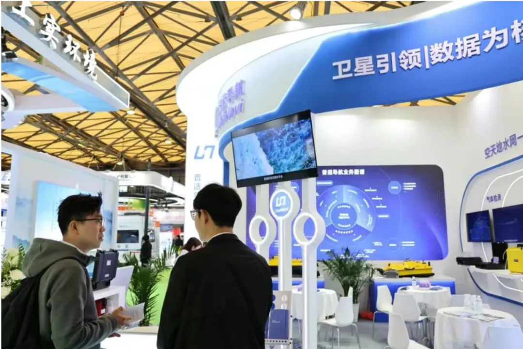
Over the three-day exhibition, Ubinavi received thousands of professional visitors and reached preliminary cooperation intentions with multiple water utility groups and ecological project companies, reflecting recognition of its technological strength and service capabilities. The technical team engaged in in-depth discussions on product performance, application scenarios, and project implementation, actively responding to the expo’s theme.
Ubinavi showcased integrated end-to-end solutions spanning baseline surveys, intelligent early warning, and trend forecasting, with typical applications in urban drainage supervision, wastewater treatment, and soil carbon flux monitoring. Several industry experts at the event noted that the system offers a clear and practical technological pathway for intelligent ecological environment supervision, while also opening new possibilities for international expansion and global collaboration within the sector.
Gratitude for Partnership, Moving Forward Together
We sincerely thank every industry expert, partner, and professional visitor who visited the Ubinavi booth. Looking ahead, Ubinavi will continue to advance in spatiotemporal digital intelligence, with a focus on BeiDou positioning and satellite remote sensing, while integrating AI and IoT technologies, committed to delivering high-quality solutions for water security, pipeline safety, marine ecology, and environmental monitorin. The journey continues, without pause. We look forward to seeing you again next year!